3D Laser Scanning and Point Clouds for BIM
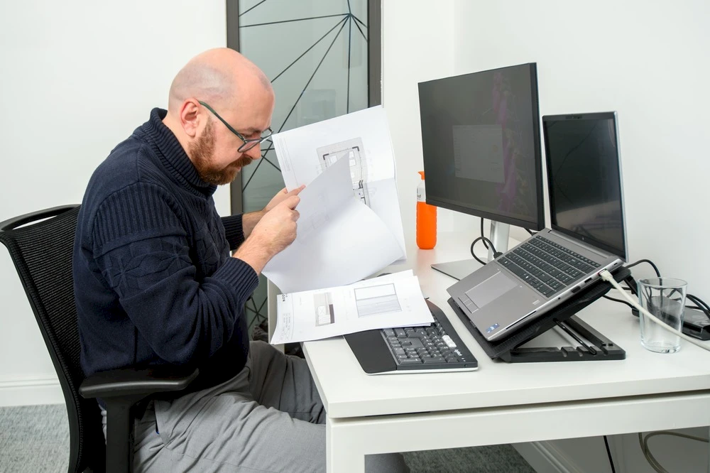
Our clients send point clouds from platforms such as NavVis, Faro and Leica. We process these point clouds using specialised software. Our BIM modellers then translate the point clouds into detailed 3D models that accurately reflect the existing situation. This not only reduces costs but also prevents surprises during construction.
We also provide 2D drafting support — fast, precise and always as agreed.